Current Topics
Study of Sea Ice Topography in the Western Weddell Sea, Antarctic
Postdoctural Researcher - Lanqing Huang
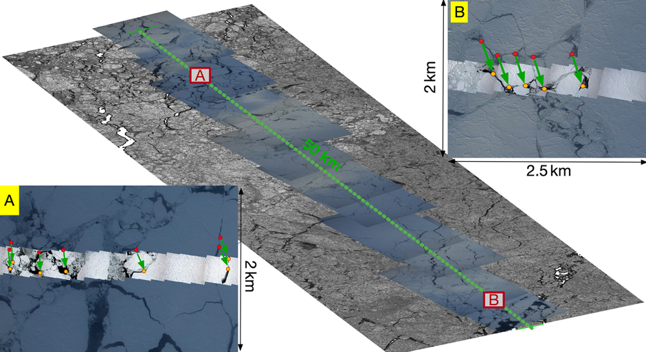
Sea ice topography is defined as the elevation of the ice volume including the snow cover above the sea level. The sea ice topographic height is dominated by ice ridges, shear zones, and hummocks. Characterizing sea ice topography is valuable for various geophysical parameters over polar oceans. Single-pass interferometric synthetic aperture radar (InSAR), i.e., TanDEM-X, enables the possibility for sea ice topographic retrieval despite the inherent dynamics of sea ice. InSAR provides a unique topographic map rather than a narrow transect from lidar or photogrammetric measurements.
The project involves developing the sea ice digital elevation model (DEM) using SAR interferometry and exploiting effective polarimetric signatures for sea ice topographic characterization. In the future, the joint use of multi-frequency single-pass InSAR imagery could develop a better understanding of sea ice properties and processes, which would be indispensable for retrieving sea ice topography at a more comprehensive range of ice conditions.