Characterizing and Modeling Glacier Dynamics with Advanced SAR Observations

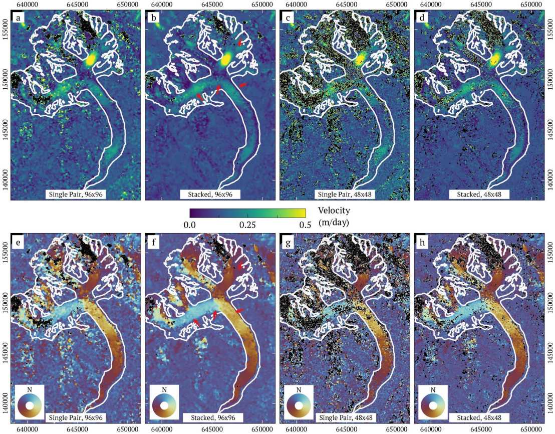
Glacier dynamics have direct impact on global sea-level change, regional water availability and local glacier-related hazards. Glacier surface velocity (GSV) is one of the most important parameters for characterizing glacier dynamics, and it can be conveniently measured by offset tracking using remote sensing data. Offset tracking is based on matching pairs of image templates acquired for the same area at different times. The similarity of template pairs are commonly evaluated by a normalized cross-correlation (NCC), and the offset representing the best match is determined by the location of the maximum of the NCC function. Unambiguously identifying the NCC peak often requires large template sizes, especially when image templates are contaminated by noise or contains insufficient trackable features. However, this inevitably depreciates the spatial resolution of the obtained GSV map, making it difficult to measure the GSV over small glaciers or areas containing strong velocity gradient. Too small templates, in turn, often fail in tracking and result in a limited coverage.
To enhance both the resolution and the coverage, and to make offset tracking more robust to noise, a stacked offset tracking method is proposed in this project. The key idea of the method is to enhance the visibility of the NCC peak by averaging NCC functions of multiple template pairs which are relatively small but record similar offsets. Template pairs may be obtained from image time series, from spatially neighboring templates or from different channels of multi-polarimetric or multi-spectral images. The proposed method will be refined for observing transient glacial processes such as seasonal variations and surging. In this work, GSV maps of high-resolution and wide-coverage will be generated by the proposed stacked offset tracking method. We will then use the generated GSV map to characterize and model the dynamics of surging glaciers.
Reference:
S. Li, S. Leinss and I. Hajnsek, "Cross-Correlation Stacking for Robust Offset Tracking Using SAR Image Time-Series," in IEEE Journal of Selected Topics in Applied Earth Observations and Remote Sensing, vol. 14, pp. 4765-4778, 2021, doi: 10.1109/JSTARS.2021.3072240.
